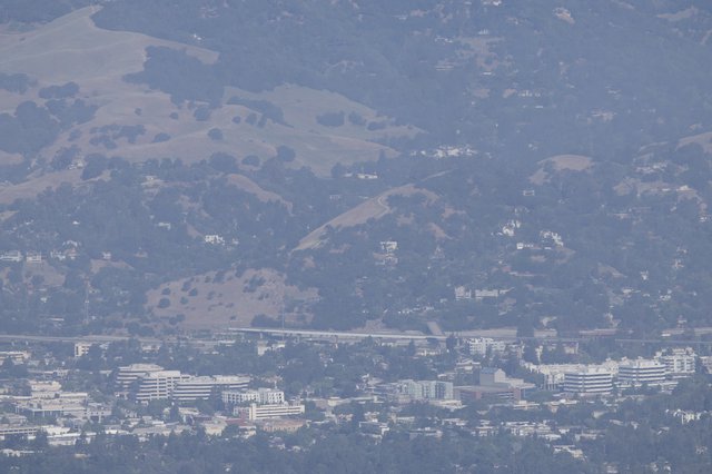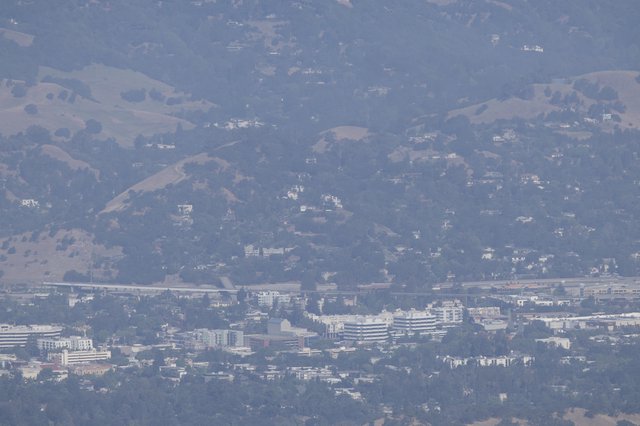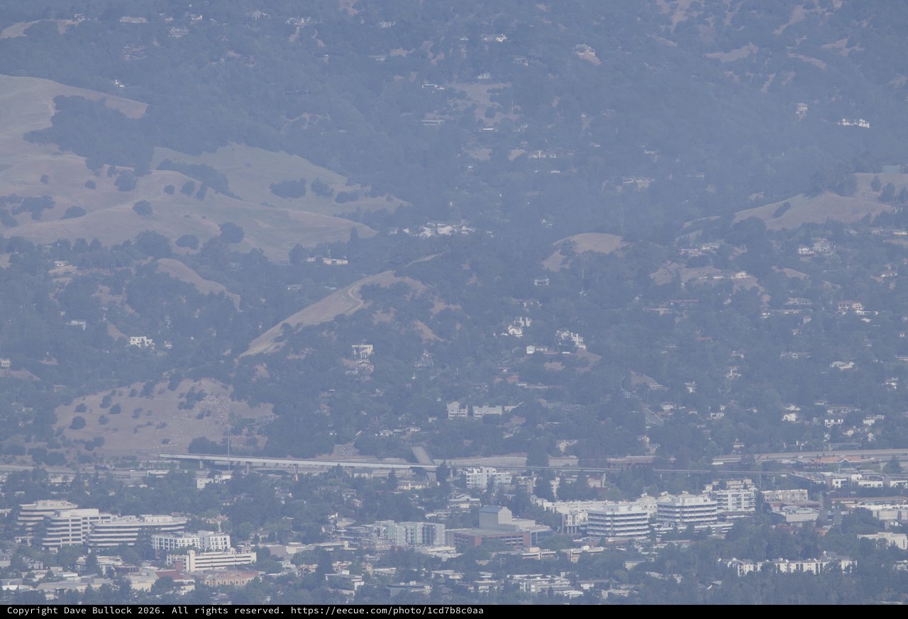
Hazy East Bay Hills Sprawl from Mount Diablo
Saturday, May 30th, 2026 at 2:41:57 PM · 2026/Mt Diablo Camping - Juniper Canyon
This telephoto image, captured from Mount Diablo using a Canon EOS R6 Mark II with a 100-500mm lens and 2x extender, shows a heavily compressed perspective of the East Bay hills and urban areas of the San Francisco Bay Area. The foreground reveals a dense cluster of mid-rise commercial and office buildings along what appears to be a major freeway corridor, likely Interstate 680 or similar. Behind the urban core, rolling golden-brown hills dotted with oak trees and scattered hillside residences stretch into the haze. A heavy atmospheric haze — possibly from summer wildfire smoke or smog — mutes the entire scene in cool blue-gray tones, creating a melancholic, layered depth. The image captures the characteristic California contrast between suburban development and the dry, oak-studded hillsides of the East Bay range.
Chronologically Adjacent