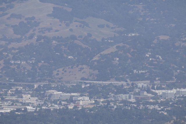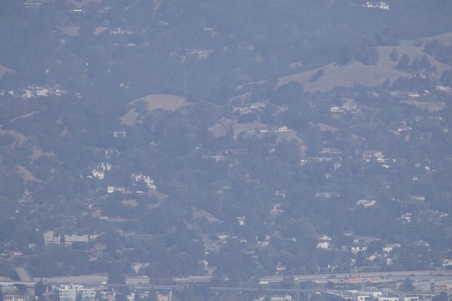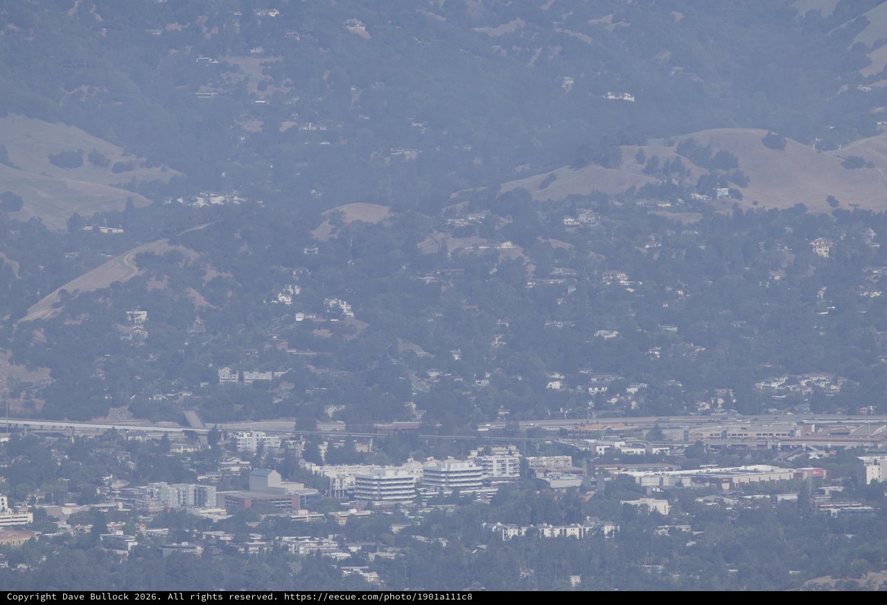
Hazy Bay Area Suburbs Stretch Toward Rolling Hills
Saturday, May 30th, 2026 at 2:42:04 PM · 2026/Mt Diablo Camping - Juniper Canyon
This long-range telephoto image, captured from Mt. Diablo's Juniper Canyon area, compresses the visual distance between a dense suburban cityscape and the rolling East Bay hills behind it. A major freeway corridor — likely Interstate 680 or similar — cuts horizontally across the mid-frame, separating the urban core below from the hillside residential communities above. The foreground shows a commercial and mixed-use urban district with multi-story white buildings, parking structures, and dense tree canopy, consistent with a city like Walnut Creek or Pleasant Hill. The image is heavily affected by atmospheric haze and heat shimmer, reducing contrast and color saturation throughout, giving the scene a muted, bluish-grey palette. The Canon RF 100-500mm with a 2x extender creates significant compression and softness at this extreme focal length, adding to the dreamlike, almost painterly quality of the scene.
Chronologically Adjacent