Photos | Navigating New York

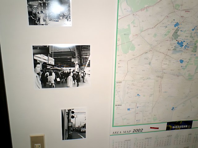
A detailed map of the city helps Irma and her friends successfully navigate through the bustling streets, marked with traffic lights and bustling with cars and other vehicles. This document serves as a valuable tool to ensure a smooth transportation experience in the city that never sleeps. Taken at the Tokyo Metropolitan Government Office in Shinjuku during their trip to Japan in 2003.
BLIP-2 Description:
a map of the city of new yorkMetadata
Capture date:
Original Dimensions:
640w x 480h - (download 4k)
Usage
Dominant Color:
Location:
flash fired
true
metering mode
5
aperture
f/2.5
focal length
6mm
shutter speed
1/30s
camera make
CASIO COMPUTER CO.,LTD.
camera model
date
2002-01-06T10:20:47-08:00
tzoffset
-28800
tzname
America/Los_Angeles
overall
(18.53%)
curation
(25.00%)
highlight visibility
(2.44%)
behavioral
(70.24%)
failure
(-0.49%)
harmonious color
(-1.00%)
immersiveness
(0.71%)
interaction
(1.00%)
interesting subject
(-82.57%)
intrusive object presence
(-4.39%)
lively color
(-11.22%)
low light
(0.76%)
noise
(-7.06%)
pleasant camera tilt
(-12.82%)
pleasant composition
(-57.62%)
pleasant lighting
(-21.20%)
pleasant pattern
(2.93%)
pleasant perspective
(1.31%)
pleasant post processing
(-0.41%)
pleasant reflection
(-6.70%)
pleasant symmetry
(0.49%)
sharply focused subject
(0.20%)
tastefully blurred
(-3.88%)
well chosen subject
(-4.83%)
well framed subject
(-36.55%)
well timed shot
(3.51%)
all
(-5.05%)
* NOTE: This image was scaled up from its original size using an AI model called GFP-GAN (Generative Facial Prior), which is a
Generative adversartial network that can be used to repair (or upscale in this case) photos, sometimes the results are a little...
weird.
* WARNING: The title and caption of this image were generated by an AI LLM (gpt-3.5-turbo-0301
from
OpenAI)
based on a
BLIP-2 image-to-text labeling, tags,
location,
people
and album metadata from the image and are
potentially inaccurate, often hilariously so. If you'd like me to adjust anything,
just reach out.

