Photos | Station Fire Map

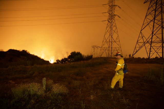
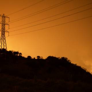
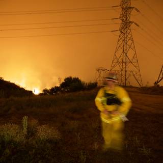
Two workers in hardhats inspect electric transmission tower amidst flames of the Station Fire in California. The fire has burned through buildings, grass, and land, and power lines and pylons are at risk.
BLIP-2 Description:
california fire map shows where the fire is burningMetadata
Capture date:
Original Dimensions:
5616w x 3744h - (download 4k)
Usage
Dominant Color:
iso
1600
metering mode
5
aperture
f/2.8
focal length
16mm
shutter speed
1/3s
camera make
Canon
camera model
lens model
date
2009-08-29T01:35:44.640000-07:00
tzoffset
-25200
tzname
America/Los_Angeles
overall
(53.71%)
curation
(50.00%)
highlight visibility
(4.36%)
behavioral
(70.60%)
failure
(-0.37%)
harmonious color
(16.13%)
immersiveness
(0.95%)
interaction
(1.00%)
interesting subject
(11.65%)
intrusive object presence
(-4.05%)
lively color
(-16.05%)
low light
(97.17%)
noise
(-0.90%)
pleasant camera tilt
(-3.17%)
pleasant composition
(9.83%)
pleasant lighting
(14.44%)
pleasant pattern
(3.83%)
pleasant perspective
(14.94%)
pleasant post processing
(-1.10%)
pleasant reflection
(5.09%)
pleasant symmetry
(0.81%)
sharply focused subject
(0.46%)
tastefully blurred
(-18.58%)
well chosen subject
(8.79%)
well framed subject
(9.98%)
well timed shot
(37.26%)
all
(12.15%)
* WARNING: The title and caption of this image were generated by an AI LLM (gpt-3.5-turbo-0301
from
OpenAI)
based on a
BLIP-2 image-to-text labeling, tags,
location,
people
and album metadata from the image and are
potentially inaccurate, often hilariously so. If you'd like me to adjust anything,
just reach out.

