San Gorgonio: Backpacking Fun Up Fish Creek
This weekend my wonderful, beautiful backpacking wife Penelope and I hiked to the peak of the tallest mountain in Southern California: San Gorgonio.
We have been training every weekend for this backpacking trip by taking nice long day hikes. The difference between our day hikes and the San Gorgonio summit was its 24 mile length compared to the 6 mile trips and of course the fact that we were carrying heavy packs.
We started out early Friday morning and drove up the 38 and then seven miles on a dirt road. This road took us to the Fish Creek trailhead where we parked and started our ascent.
The trail was beautiful and green with a nice gentle climb of about 1,800 feet in six miles. We didn't see another person the whole day we were hiking. Fish Creek trail is definitely less crowded than the other routes to the top.
Once we got to Mine Shaft Saddle we headed down to our campsite at Mine Shaft Flat about a mile and 600 vertical feet downhill. We set up camp and cooked up some dinner, which was quite good despite consisting of various types of ramen noodles and a package of spicy salmon.
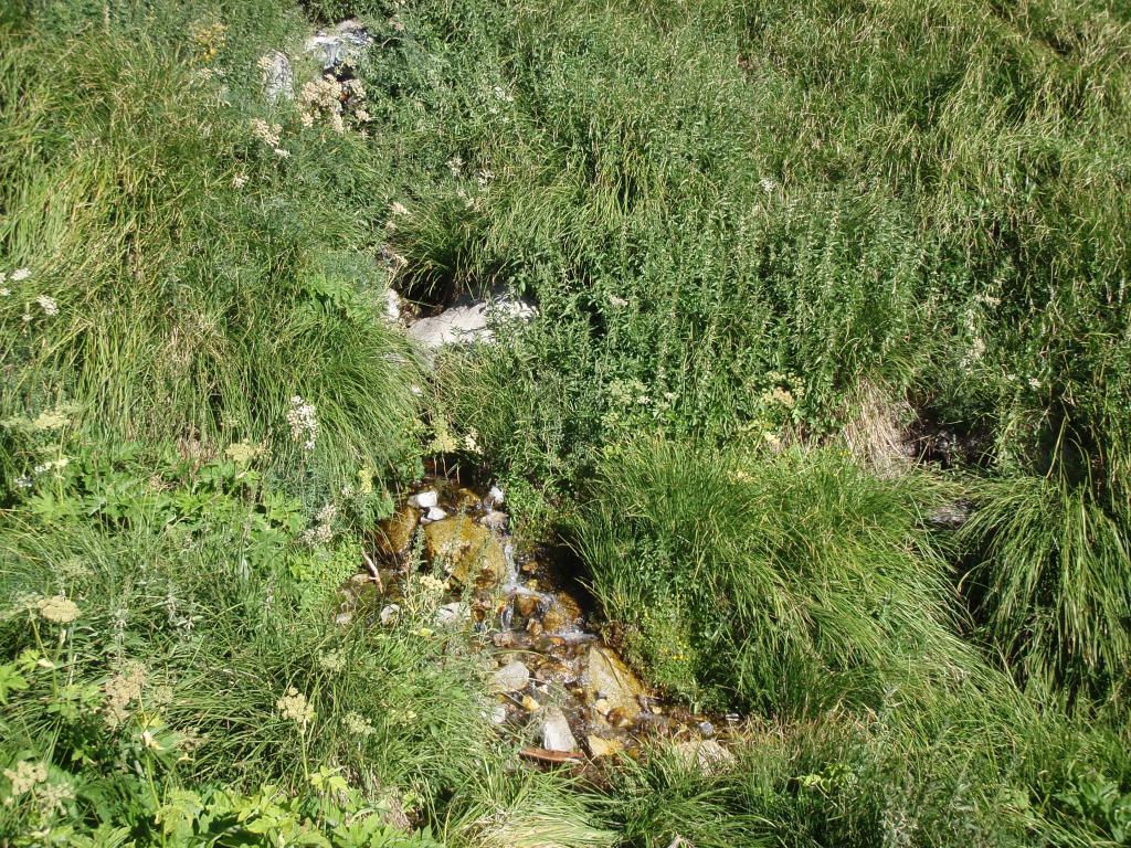
The next morning we headed about a half-mile down the trail towards Big Tree camp to fill our water bottles. The water was flowing nicely and was icy cold and fresh. We filled up our containers and then used an MSR MIOX to purify the water.
What I failed to notice was that the test strips which detect the level of chlorine ions made by the MIOX were expired by two years. This caused us to keep adding the MIOX solution and our water tasted like it was fresh from a pool. It ended up being ok to drink, but not the most pleasant experience. Better than being dehydrated or getting Giardia!
The next morning we ate breakfast, broke down camp and headed up to the trailhead where Fish Creek trail intersects with the trail to the summit: Sky High View trail. Once at the intersection we unloaded our packs and stashed our gear, bringing only food, water, first aid and emergency supplies, my ham radio and the SPOT messenger.
The SPOT was nice to have, it allowed us to send our family our position throughout our trip. If there was an emergency we could have also used it to ask for help of request a rescue.
Once we had unloaded our packs, the four and a half mile 3,500' elevation gain hike was actually pretty easy. We made it up in roughly two hours despite Penelope feeling a little tired at the end, probably from low blood sugar.
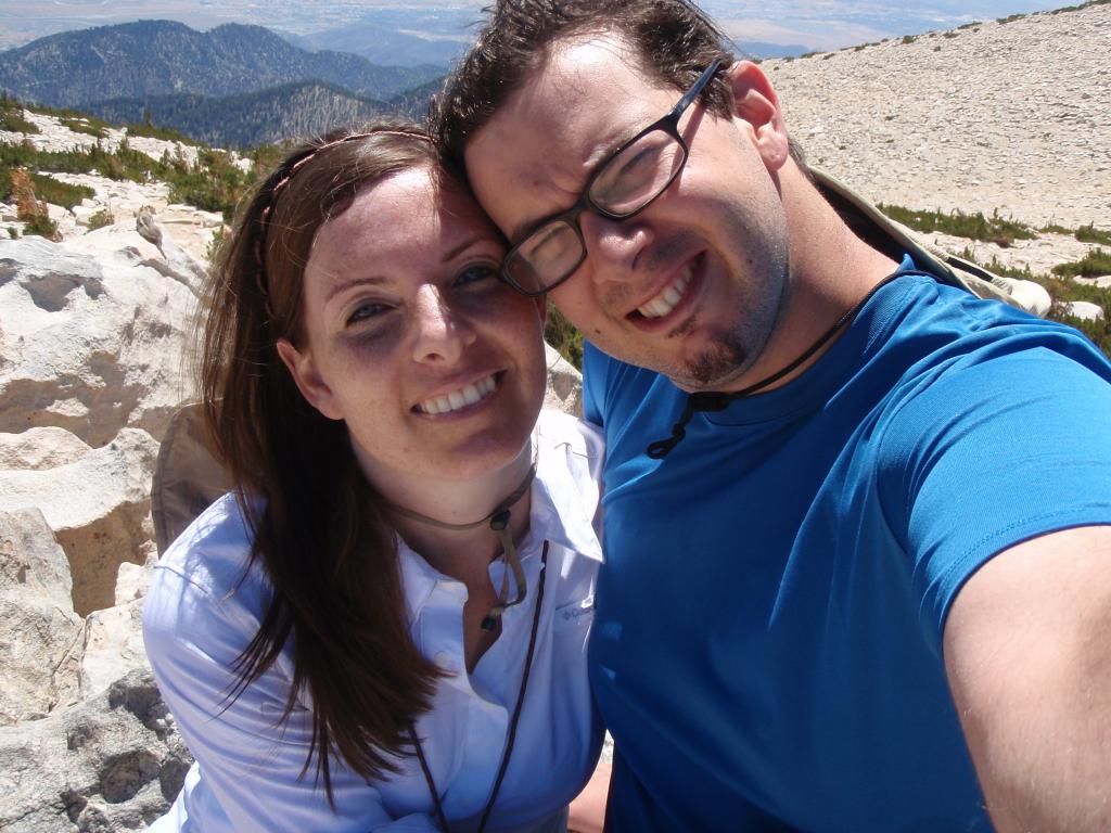
At the peak we rested, took some photos and ate lunch. We chatted with some boy scouts and their troop leader. I then made contact with someone in Huntington Beach via the Catalina amateur radio repeater.
We also met a nice Israeli astrophysicist named Amri Wandel. Amri happened to be in the LA area teaching a class at UCLA called "Astrophysics and life in the Universe." He hiked down with us and we had a very interesting conversation about Black Holes, Quasars, Pulsars, Unified Field Theory and much more. He has some interesting papers about to come out that I will likely cover for Wired.com.
On the way down we made good time, only stopping once to grab our stashed gear. We made it down the mountain in about four and a half hours from the peak to the trail head. In all we hiked 17 miles on Saturday and about 24 miles total.
We had a great time and we are looking forward to backpacking again soon. We plan on bagging Mount Whitney around this time next year and Half Dome some time before that.
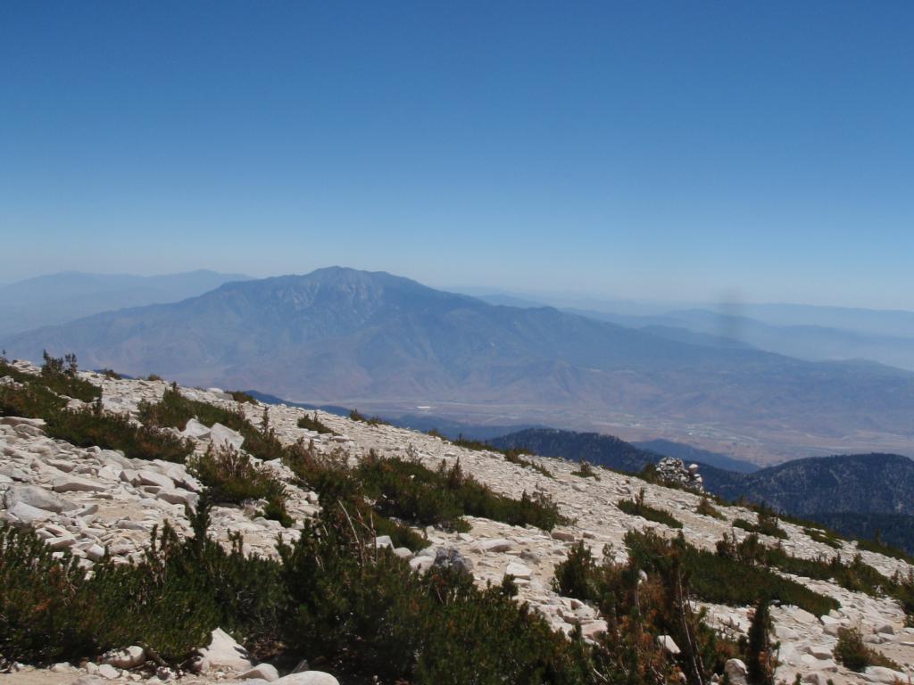
San Jacinto stands tall in the distance as seen from San Gorgonio peak at 11,500 feet last Saturday.
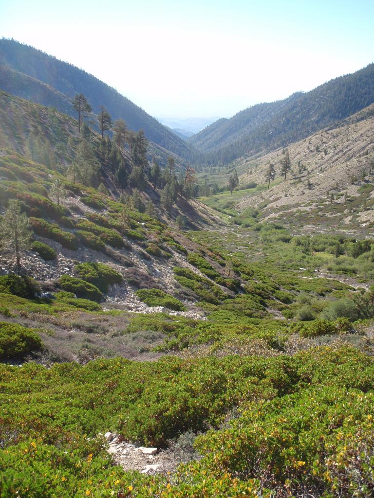
The view from our campsite and Mine Shaft Flats shows a valley lush and verdant from the stream that runs through it year-round.
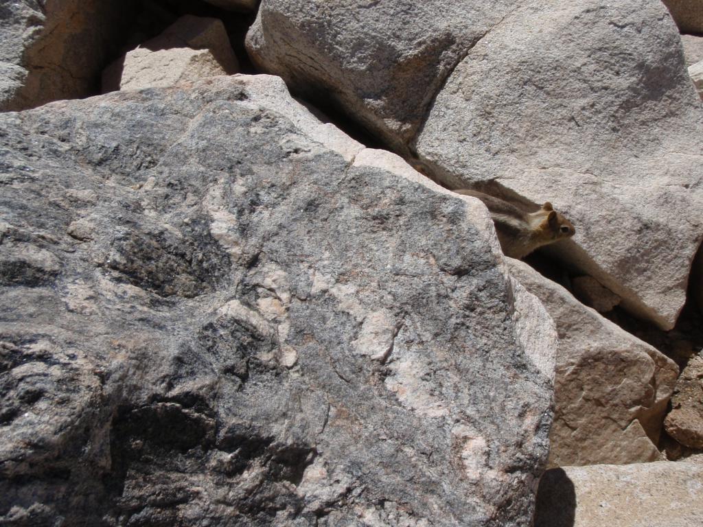
A chipmunk scavenges for food on the top of San Gorgonio peak. These little critters wouldn't be able to survive at the summit if it wasn't for the hikers that feed them.
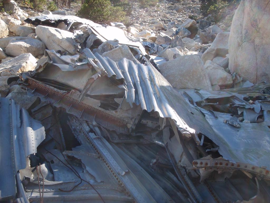
The wreckage of a military transport plane stretches across Sky High View trail on the way up to San Gorgonio Peak.
Penelope and I at the top of San Gorgonio Peak.
A flowing stream was our water source. Despite its freshness we still purified it using an MSR MIOX.
